dhis2-users team mailing list archive
-
 dhis2-users team
-
Mailing list archive
-
Message #11875
Re: Use Google streets maps to capture coordinates
Dear Pramil,

This is not possible in the current 2.25 and a good feature especially if
you can locate and identify the structure or building or the tracked
entity. You can go ahead and suggest it as a new feature through
https://jira.dhis2.org

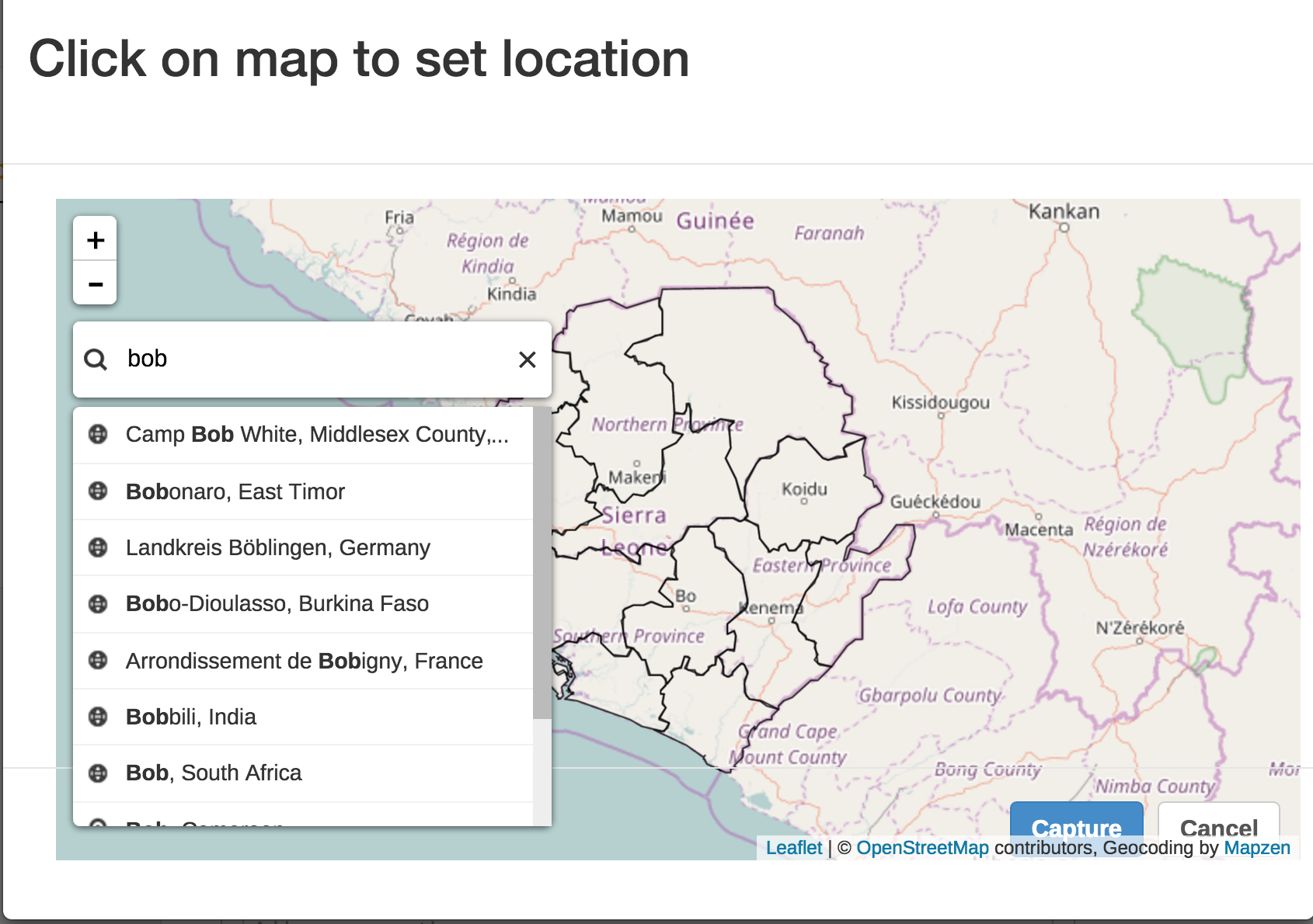
Currently you can search for only geo-plotted locations as below
[image: Inline image 1]

Regards


Prosper Behumbiize, MPH
DHIS2 Implementation| HISP Uganda/University Of Oslo
+256 752 751 776 | +256 776 139 139
prosper@xxxxxxxxxxxxxx <ptb3000@xxxxxxxxx> | prosper@xxxxxxxxx | Skype:
prospertb

On Thu, Nov 24, 2016 at 9:00 AM, Pramil Liyanage <pramilcl@xxxxxxxxx> wrote:

> Hi,
>
> Is it possible to use Google street map in capturing coordinates in
> tracker capture in 2.25 which was possible in 2.24 rather than using
> OpenStreetMap?
>
> Regards
> Pramil
>
> _______________________________________________
> Mailing list: https://launchpad.net/~dhis2-users
> Post to     : dhis2-users@xxxxxxxxxxxxxxxxxxx
> Unsubscribe : https://launchpad.net/~dhis2-users
> More help   : https://help.launchpad.net/ListHelp
>
>

Follow ups
References